ClearSite
Lots with no addresses, graded from a drive-past. The plat becomes a map, the map gives every lot coordinates, and a camera on a truck does the rest.
- Year
- 2026
- Time to build
- 3 months
- What we did
- Mobile app, Device integration, API, Vision pipeline, Infrastructure
- Built with
- Expo, tRPC, NestJS, LangGraph, Postgres, AWS
- Alongside
- Pub Creative
The problem
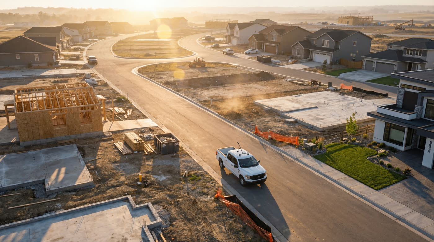
Scrap-It sends contractors out across a region, and knowing what had happened at a job site meant sending somebody to look. A driver photographed every lot, and somebody else sat and worked through the photographs afterwards. The harder half is that a lot under construction has no address: the house is not built, so there is nothing to call it. A picture of a slab is a picture of a slab, and it takes someone who knows the street to say which one.
Giving every lot a place to be
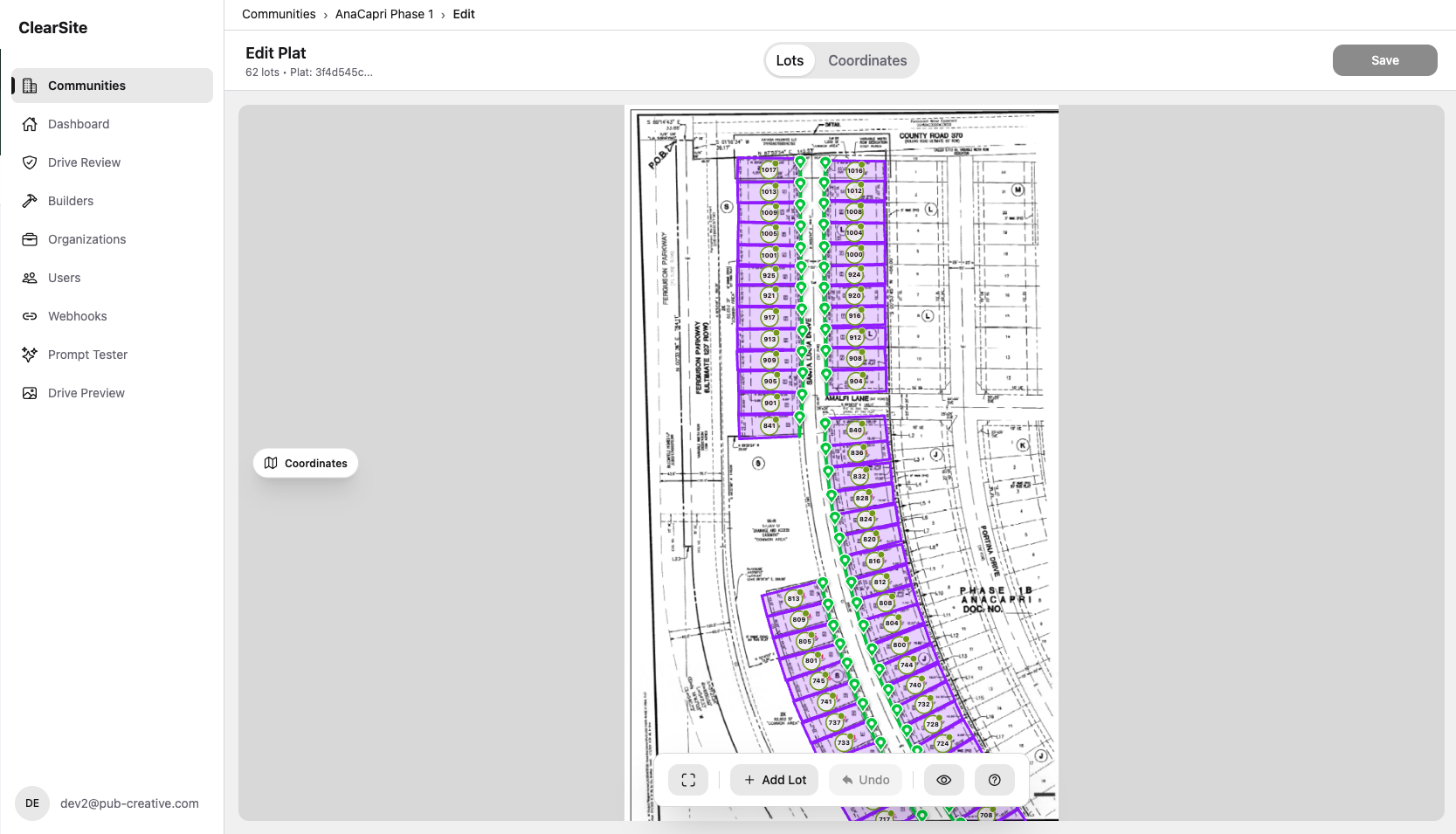
What does exist is the plat, the surveyor’s drawing the whole community is set out from. We digitise it. Each lot on the drawing becomes a shape, laid over a real map, which gives it coordinates long before it has a number on a door. After that, a photograph taken at a position belongs to a lot without anyone deciding which.
Driving the community
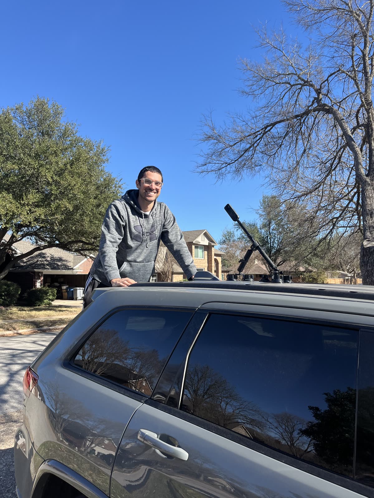
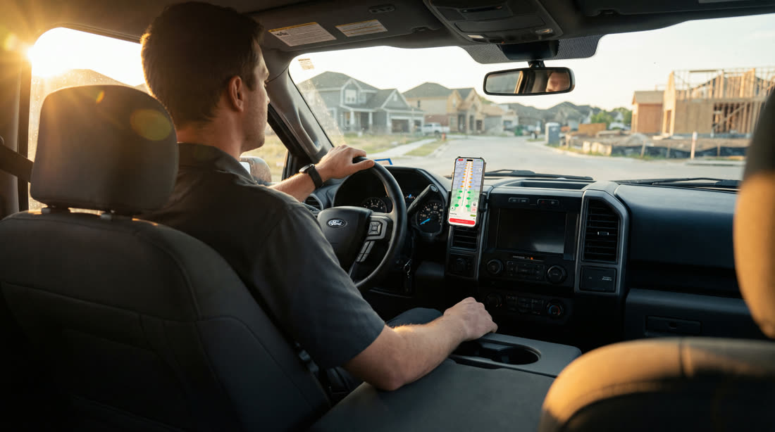
A camera goes on the roof and a phone goes on the dash, and somebody drives the streets they were driving anyway. The app records, follows where the vehicle is, and uploads when it has signal. Nobody stops at a lot, gets out, or writes anything down.
Built for whoever is in the truck
The person doing this is not thinking about software. So the app finds the camera itself, refuses to set off on a battery that will not last the route, marks every lot before anyone moves, and fills the road in behind them as they drive, so what is left is never a guess.
The drive itself, then the whole job in the order a crew meets it. It finds the camera itself, refuses to start on 5% battery, marks every lot before anyone sets off, and fills the road in behind them as they drive. The drive runs at triple speed here; a route takes about an hour.
Driving
What comes back
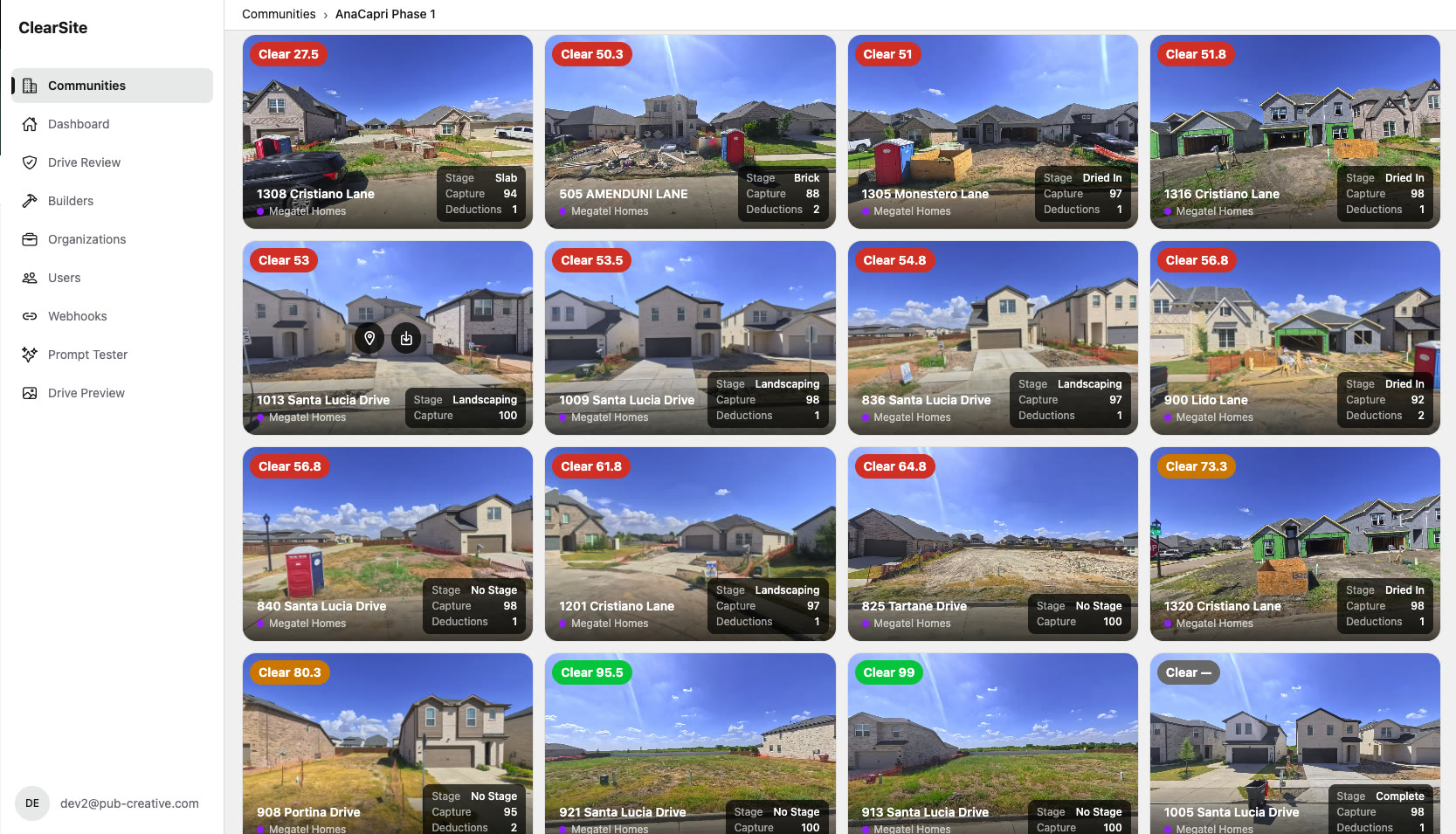
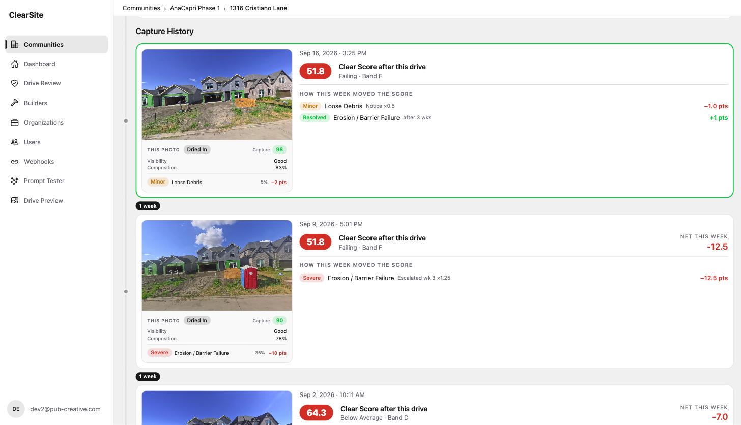
Every lot carries a score, the stage it has reached and what was found, week by week, and each one traces back to the footage it came from. The reading that used to be a person working through photographs now arrives already done, and the people who did it check it instead. That reading was the ceiling on how much work Scrap-It could take on, and it is not the ceiling any more.
Where it landed
Three months from the first line of code, and we built all of it: the AWS infrastructure, the web dashboard, the mobile app, the Bluetooth work that drives an Insta360 camera from a phone, and the AI pipeline that turns hours of footage into a score for every lot.
The pipeline is what makes the rest worth having. Working out what stage a house is at from video is not one model call. It is a chain of them, checked against each other and against what people found on site. That is the work we are good at, and it only counts because the camera, the truck, the upload and the dashboard were built to the same standard.
Scrap-It does not order a report on a community any more. The report happens while somebody drives.
Built for Scrap-It in partnership with Pub Creative, who did the early discovery work on the product with them and brought us in to build it. Everything that shipped is ours, end to end: the mobile app, the API, the vision pipeline, the dashboard, and the AWS infrastructure it all runs on.